You are herePut-in-Bay, Ohio
Flying There
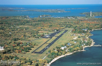
Put-in-Bay Airport (3W2) is on the southern portion of South Bass Island, 7 nm northeast of Carl R. Keller Field (PCW) and 15 nm northwest of Griffing Sandusky Airport (SKY), which is just east of the city of Sandusky, Ohio. Pilots arriving from the south can minimize over-water distance by flying to PCW, and then continuing about 4 nm north along adjacent Catawba Island, which juts out into Lake Erie. From the north end of Catawba Island, it is about 2 1/2 nm over water to South Bass Island. From the west, you’ll have to avoid the R-5502 restricted areas, 4.5 nm west of Put-in-Bay, that extend from the surface up to 23,000 ft. MSL. Since a detour to the north would take you far offshore, arrivals from the west are advised to navigate via PCW as well.
From the east and southeast, you can navigate to the Sandusky VOR (SKY 109.2 MHz), then fly 13 nm northwest to the tip of Catawba Island before crossing over to South Bass Island. In the Cleveland Class B area, flight following is available from Cleveland Approach on 126.35 MHz or 125.35 MHz.
Direct routes from the northeast may entail long over-water distances and transition Canadian airspace. If you do not detour along the south shore of Lake Erie, be prepared for over-water flying. You will also have to be on an active VFR or IFR flight plan, squawking a discreet code, and be in contact with ATC when you cross the border, even if both your departure point and destination are in the U.S.
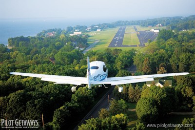
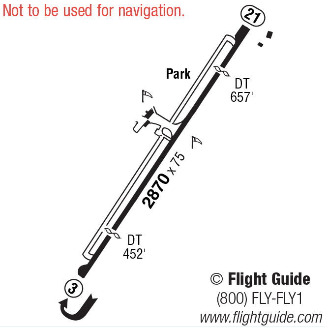
Put-in-Bay’s paved Runway 3/21 is 2,870 x 75 feet. There is a 450-foot displaced threshold for Runway 3 due to 63-foot trees at the south end as well as for noise abatement. Pilots are advised to stay clear of Perry’s Victory and International Peace Memorial, a 352-foot column slightly right of runway centerline only 1 nm from the departure end of Runway 3. For noise abatement, use right traffic for Runway 3 and left traffic for Runway 21. Fuel is not available, but the small FBO at the south end of the field offers biplane and helicopter scenic flights, a pilot lounge, vending machines, golf cart rentals, and rest rooms, 8 a.m.–8 p.m. There are no runway lights, so the airport is open from 30 minutes before sunrise to 30 minutes after sunset. Bring your own tie-down ropes and chocks. Parking may be scarce on summer weekends, so get there early, day parking: $11, overnight parking: $16.


